✨ New Arrivals Just Dropped!Explore
1 / 3
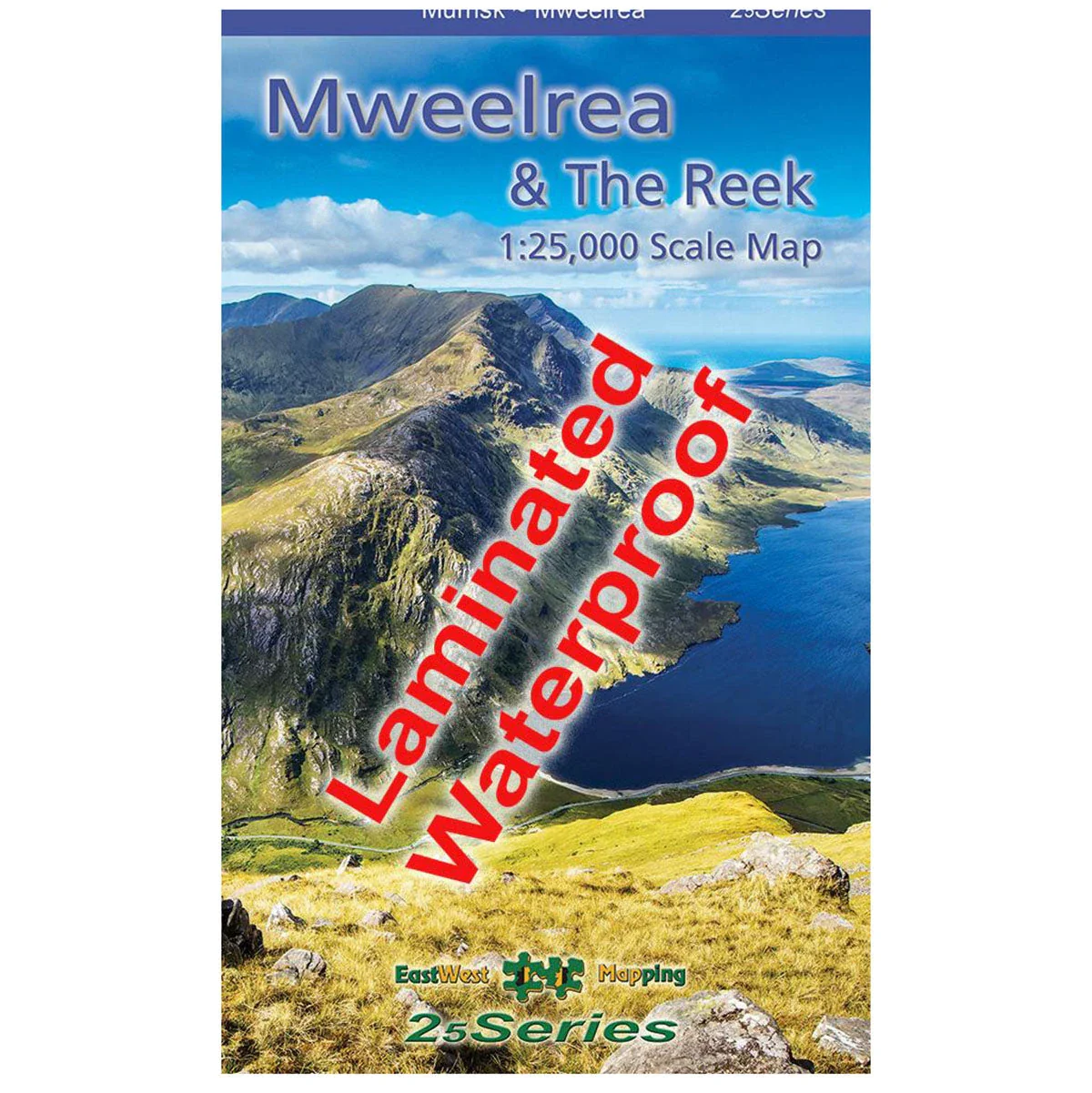
Waterproof Mweelrea & The Reek 1:25k Map
The Waterproof Mweelrea & The Reek 1:25,000 Map from East West Mapping is a definitive, detailed map covering Mweelrea and the region from Killary Harbour to Clew Bay, including the Sheaffrey Hills and The Reek (Croagh Patrick).
Features
- Detailed map at 1:25,000 scale
- 5 metre contour interval for fine navigation
- Signposted walking trails depicted
- Printed on good quality Progeo 90gsm map paper
- Fully encapsulated/laminated for durability and weatherproofing
- Also available in standard folded paper version
$10.17
Original: $29.06
-65%Waterproof Mweelrea & The Reek 1:25k Map—
$29.06
$10.17Product Information
Product Information
Shipping & Returns
Shipping & Returns
Description
The Waterproof Mweelrea & The Reek 1:25,000 Map from East West Mapping is a definitive, detailed map covering Mweelrea and the region from Killary Harbour to Clew Bay, including the Sheaffrey Hills and The Reek (Croagh Patrick).
Features
- Detailed map at 1:25,000 scale
- 5 metre contour interval for fine navigation
- Signposted walking trails depicted
- Printed on good quality Progeo 90gsm map paper
- Fully encapsulated/laminated for durability and weatherproofing
- Also available in standard folded paper version